
Historical Paintings of Woods Hole and Falmouth by F. L. Gifford
View of the Village, 1843
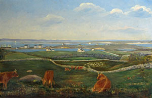
Click on the painting
for a larger image.
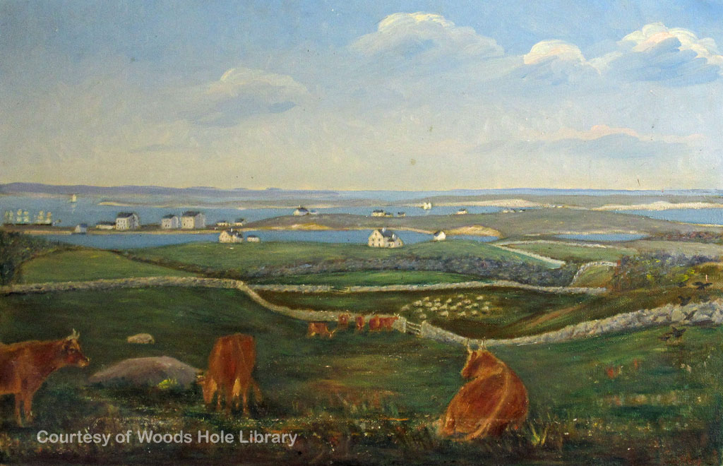
The view in this painting is taken from the site of the present golf links. Much of Woods Hole and Quissett was open grazing land for sheep and cattle during the 19th century, which explains many of the old stone walls incongruously distributed through the present woodlands.
On the extreme left of this picture some whaling ships can be seen off Bar Neck Wharf, presumably discharging oil or fitting out for the next voyage. The small building beside the Eel Pond bridge is Braddock Gifford's blacksmith shop (15) and the long low building to the right is the spar shed on Bar Neck Wharf (53). The three large buildings on Water Street are from left to right: the Cooper Shop, Commercial Hall and Sail Loft (14), the Bake House (13) and the Candle Factory (11) of which only the latter remains standing. The cluster of smaller buildings just beyond the Candle Factory (11) is Sanford Harendeen's Cooperage (9) and the Try House (10) where sperm oil was bleached under a glass roof for candle-making. In the immediate foreground of this group is Captain Benjamin Edwards' house (19) and closer still Barnabas Hatch's house (21) and barn (22). Martha Holly's house (20) stands to the right of these.
On the crest of the hill across Eel Pond is Braddock Gifford's house (built in 1833) and barn (7), and the cluster on the right in the background of Barnabas Hatch's house and barn (21) (22) is John Robinson's house (built in 1843) and barn (6), flanked on the right by Sanford Harendeen's house (4), Seth Robinson's "Yellow House" and barn (2) (3) and on the extreme right William Robinson's house (1) on Long Neck. Long Neck, or Penzance Point, was once cut off from the mainland by a shallow water passage which extended from a little west of the present site of Stony Beach to the west of the Woods Hole Yacht Club.
The text above is from Historical Paintings of Woods Hole, by Franklin Lewis Gifford (Woods Hole Public Library, 1962). The numbers in parentheses refer to Gifford's "Map of Woods Hole as of 1845," which you can see by clicking here.